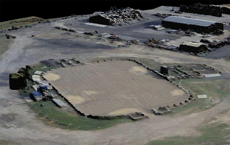
Geospatial mapping captures high-resolution photographic imagery and constructs maps of the landscape. As an application of GEOINT, or geospatial intelligence, the electro-optical imagery is used to update outdated maps and provide the most current look at the landscape. Imagery captured for geospatial mapping may be taken from directly overhead or off-nadir. Through orthorectification, imagery captured for geospatial mapping is adjusted for planimetric accuracy, modifying the image for the tilted perspective of the camera as well as the foreshortening of the terrain.
TYPICAL USES FOR GEOSPATIAL MAPPING
Using GEOINT and combining it with other ISR solutions allows IMSAR systems to perform multiple applications in a variety of industries. Typical uses for IMSAR’s ISR solutions can include:
- Intelligence Gathering
- Pipeline Monitoring
- Monitoring Mining Operations
- Military Surveillance
- Landslide Monitoring
- Border Security
- Reconnaissance Missions
- Monitoring Construction Sites
- Navigation
GEO IMAGE SAMPLES
AVAILABLE PRODUCTS
IMSAR systems that are capable of performing GEO-Mapping are available in a variety of configurations that are designed for easy integration onto manned or unmanned aircraft. The following configurations can be used for GEO-Mapping missions:
For more information about geospatial mapping and other products, contact us at information@imsar.com or call IMSAR sales at 801.798.8440.